Big news—we’ve been selected for the Initiate Program at DISTRIBUTECH International 2025! This means we’re heading to Dallas, Texas, from March 24-27 to showcase what we do best: high-altitude remote sensing. Initiate is all about connecting up-and-coming companies with industry leaders, giving us the opportunity to exhibit and present amongst the industry’s best.
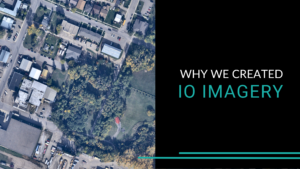
Meet IO Imagery
IO Imagery is built to provide high-resolution aerial data with the speed, precision, and flexibility industries need. Designed for utilities, energy, transportation, and environmental monitoring, our system ensures organizations get the right data, at the right time, in the right format – without unnecessary delays or extra costs.
What sets IO Imagery apart?
- Fast & High-Quality: Rapid, high-resolution aerial data without sacrificing accuracy.
- Covers Large Areas: Map up to 10,000 km² in a single flight for efficient data collection.
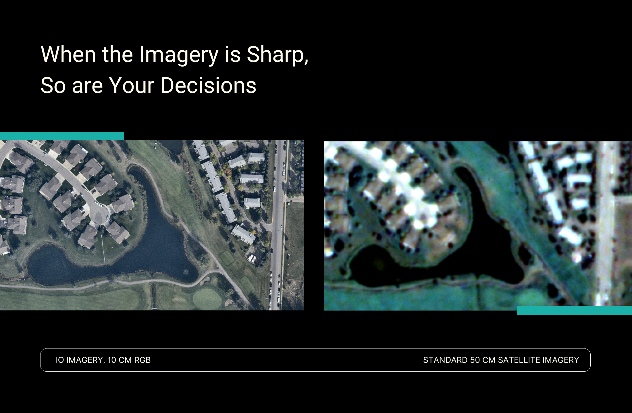
- Ultra-Detailed Imagery: Capture 10 cm RGB and NIR images for precise analysis.
- Transparent Pricing: Pay only for what you need with flexible pricing options.
- Custom Data Collection: Tailored flights for corridors, irregular areas, or specific sites.
- Quick Delivery: Receive initial data within days, faster than satellite or traditional surveys.
All of this data is delivered in a format optimized for utility operations, empowering companies to take a proactive, data-driven approach to infrastructure and vegetation management.
Why It Matters for Utilities
IO Imagery‘s collection system built specifically for fast, wide-area data acquisition, helping utilities stay ahead with better data for infrastructure and vegetation management. For utility management, a detailed view of powerline corridors will improve infrastructure management and vegetation control, while traditional inspection methods can be slow and costly, while satellite data often lacks the resolution and flexibility for proactive planning.
In the end, utilities receive high-resolution imagery, elevation models, extracted vector layers, and vegetation conflict maps – all formatted for easy integration into their existing systems. This means more reliable grid operations with faster insights and smarter decisions.
Why We’re Excited for Initiate
For us, being part of Initiate is a big deal. It’s our first major event to introduce IO Imagery, and we’re excited to share it with industry experts, potential partners, and anyone looking for better ways to manage utility infrastructure. Jonathan Neufeld, President of IO Aerospace, is set to provide a pitch presentation on the Clean Tech and AI stage on Tuesday, March 25, at 11:00 am.
“Being selected for the Initiate Program is a huge step for us,” says Jonathan. “We’re bringing something new to the table, and DISTRIBUTECH is the perfect place to show utilities how our technology can make a real difference for their operations.”
If you’re attending DISTRIBUTECH 2025, stop by the Initiate pavilion to chat with us or hear Jon’s pitch. In the meantime, stay informed about advancements by following us on LinkedIn or signing up for updates.