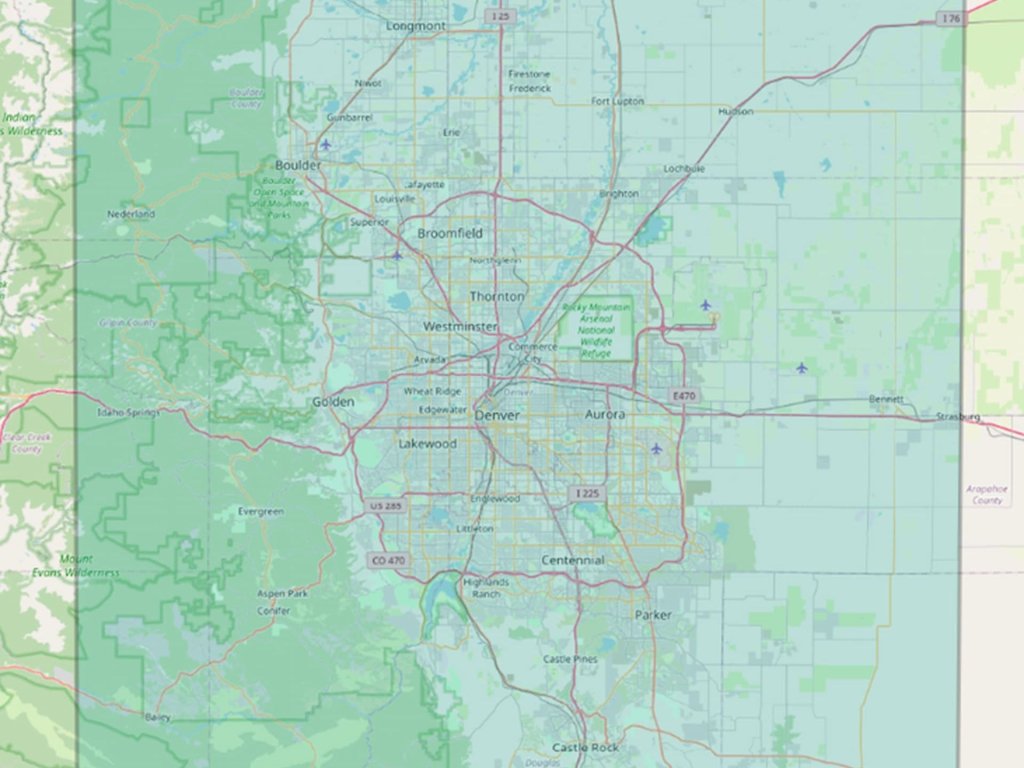
Seeing Scale Clearly: What 10,000 Square Kilometres Really Means
IO Aerospace™ offers large-scale, high-altitude aerial imaging capabilities, capturing up to 10,000 square kilometres of consisten…
Do you need to map large-scale areas – capturing extensive geographic data for detailed analysis – or are you looking to monitor specific conditions or changes in real time? Understanding the objective of your mission is critical as it allows our team to design a customized mission plan to achieve your goals.
We can fly your sensors, or we’ll source and fly other sensors suited to your mission, so you can focus on what matters most—collecting and analyzing the right data. With extensive experience in designing and flying remote-sensing special missions, our team works closely with clients through each step.
Test new-generation sensors side-by-side with their predecessors to assess performance improvements. This is ideal for clients who need to compare upgraded products with older versions under the same mission conditions.
From mission planning to sensor integration and data acquisition, our team handles every aspect of your special mission. Whether you’re testing hardware for pre-space missions, acquiring data, or conducting scientific research, we optimize every element for success.
We don’t just gather data—we ensure it’s processed and validated in real-time so you can make informed decisions and refine your mission parameters as needed.
IO Aerospace™ offers large-scale, high-altitude aerial imaging capabilities, capturing up to 10,000 square kilometres of consisten…
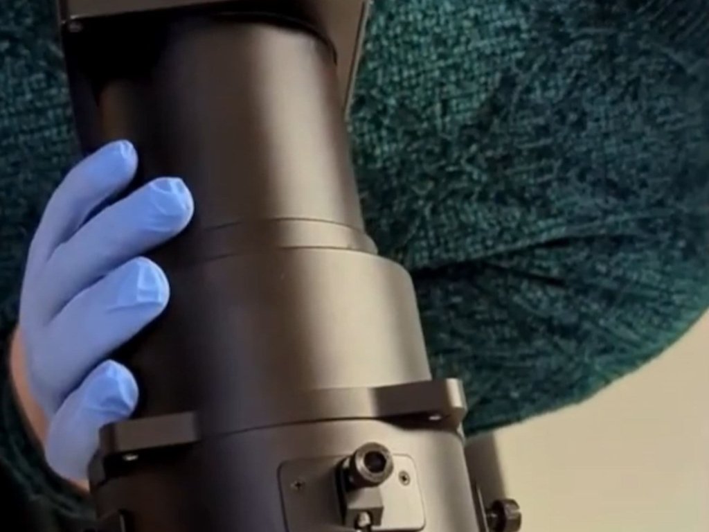
IO Aerospace, in collaboration with Phase One, has developed the RSM 300mm Shutterless Lens. This custom-built optical system is d…
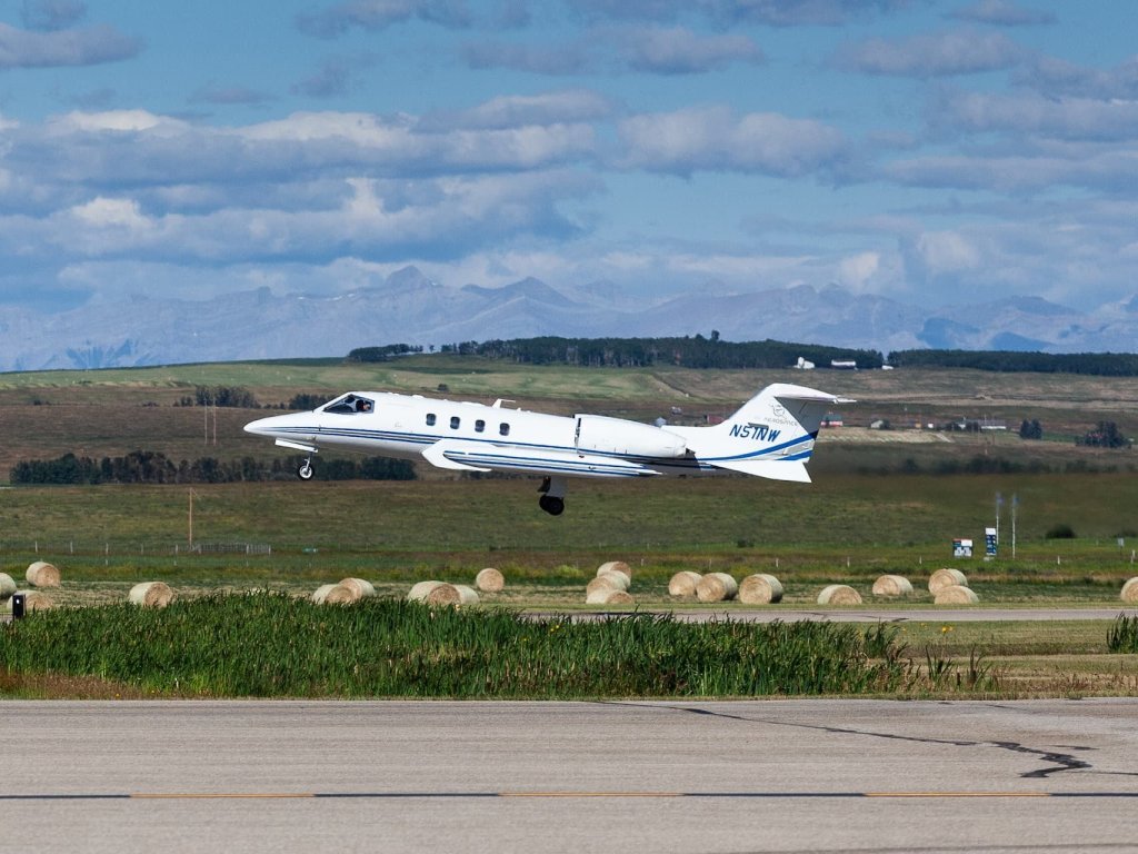
Modern aerospace missions require sensing systems that deliver instant response, flawless performance, and effortless scaling acro…