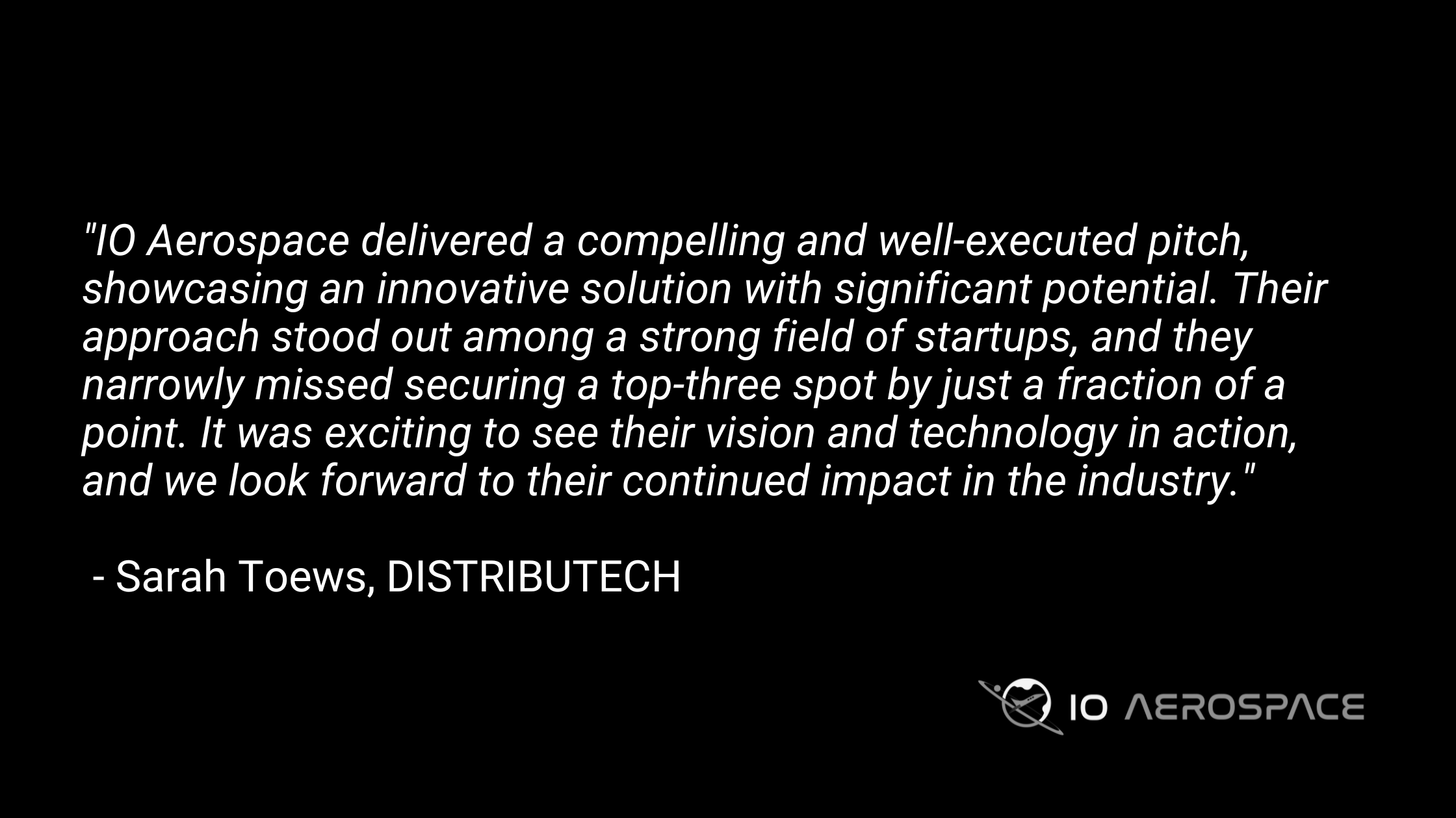
Your Mission, Our Expertise:
Taking Special Missions to New Heights
Start by asking: What is your mission?
Do you need to map large-scale areas – capturing extensive geographic data for detailed analysis – or are you looking to monitor specific conditions or changes in real time? Understanding the objective of your mission is critical as it allows our team to design a customized mission plan to achieve your goals.
We can fly your sensors, or we’ll source and fly other sensors suited to your mission, so you can focus on what matters most—collecting and analyzing the right data. With extensive experience in designing and flying remote-sensing special missions, our team works closely with clients through each step.
Full-Service Mission Support for Precision Testing and Data
Simultaneous Payload Bays:
Test new-generation sensors side-by-side with their predecessors to assess performance improvements. This is ideal for clients who need to compare upgraded products with older versions under the same mission conditions.
Mission Design & Flight Operations:
From mission planning to sensor integration and data acquisition, our team handles every aspect of your special mission. Whether you’re testing hardware for pre-space missions, acquiring data, or conducting scientific research, we optimize every element for success.
Data Processing & Analysis:
We don’t just gather data—we ensure it’s processed and validated in real-time so you can make informed decisions and refine your mission parameters as needed.
Our High-Altitude Special Mission Aircraft
Modified Learjet 35 for Optimal Results
In 2023, IO Aerospace launched its high-altitude airborne mapping aircraft, a specially modified Learjet 35. With extensive modifications, including dual camera ports, delta fins for stability, and extended tip tanks for longer flight endurance, this aircraft can deliver:
- High-Volume Data Collection: Capable of gathering over 10,000 km² of data per day, ideal for large-scale missions across continents.
- Long-Duration Flights: With a flight endurance of over five hours, our missions cover more ground, faster.
5 HOURS
FLIGHT TIME
45,000 FEET
MAX ALTITUDE
19,600 LBS
MAX WEIGHT
420 KNOTS
MAX SPEED
The Latest From the Blog
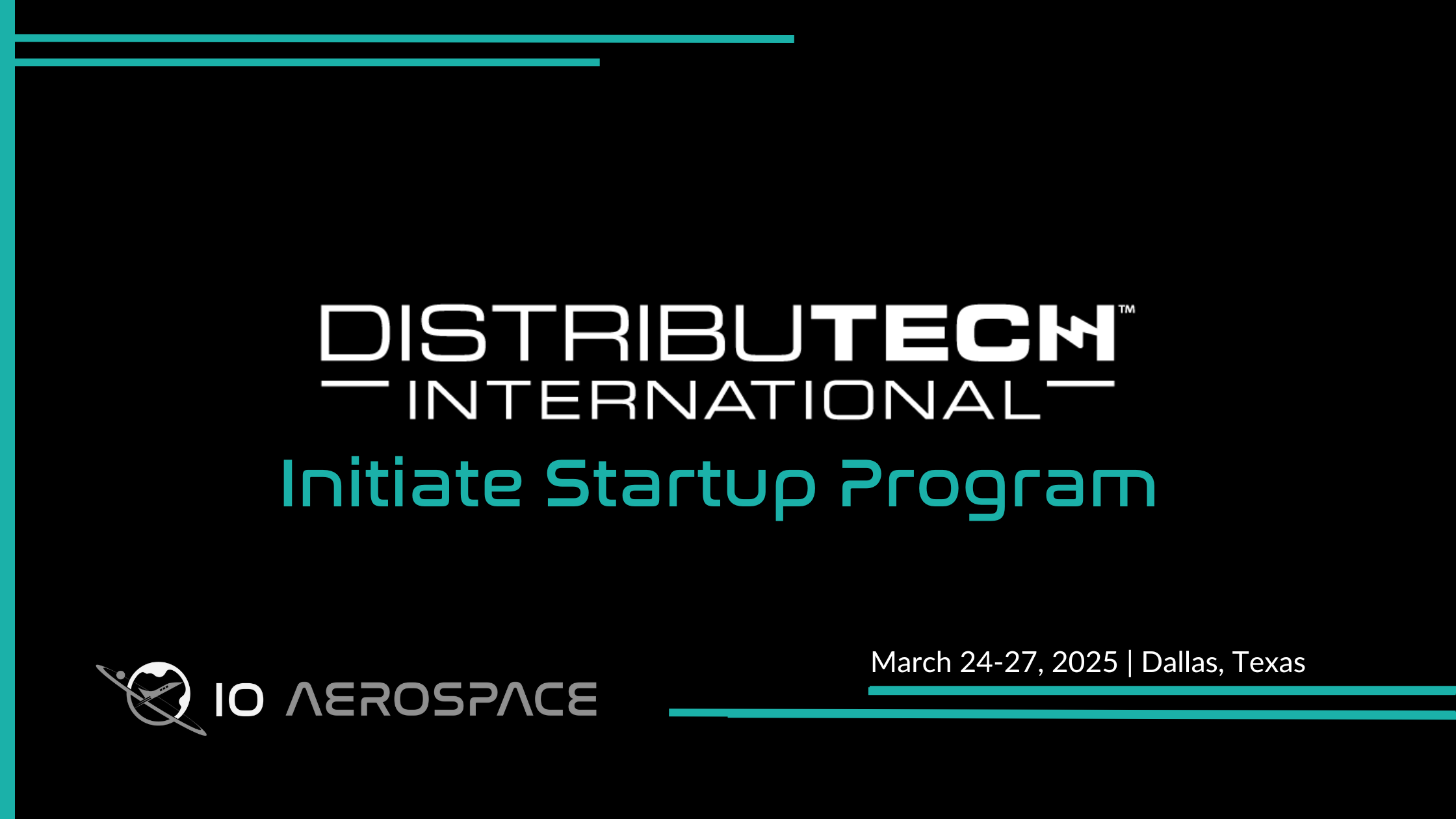
IO Aerospace Heads to DISTRIBUTECH’s Initiate Program
Big news—we’ve been selected for the Initiate Program at DISTRIBUTECH International 2025! This means we’re heading to Dallas, Texas, from March 24-27 to showcase what we do best: high-altitude remote
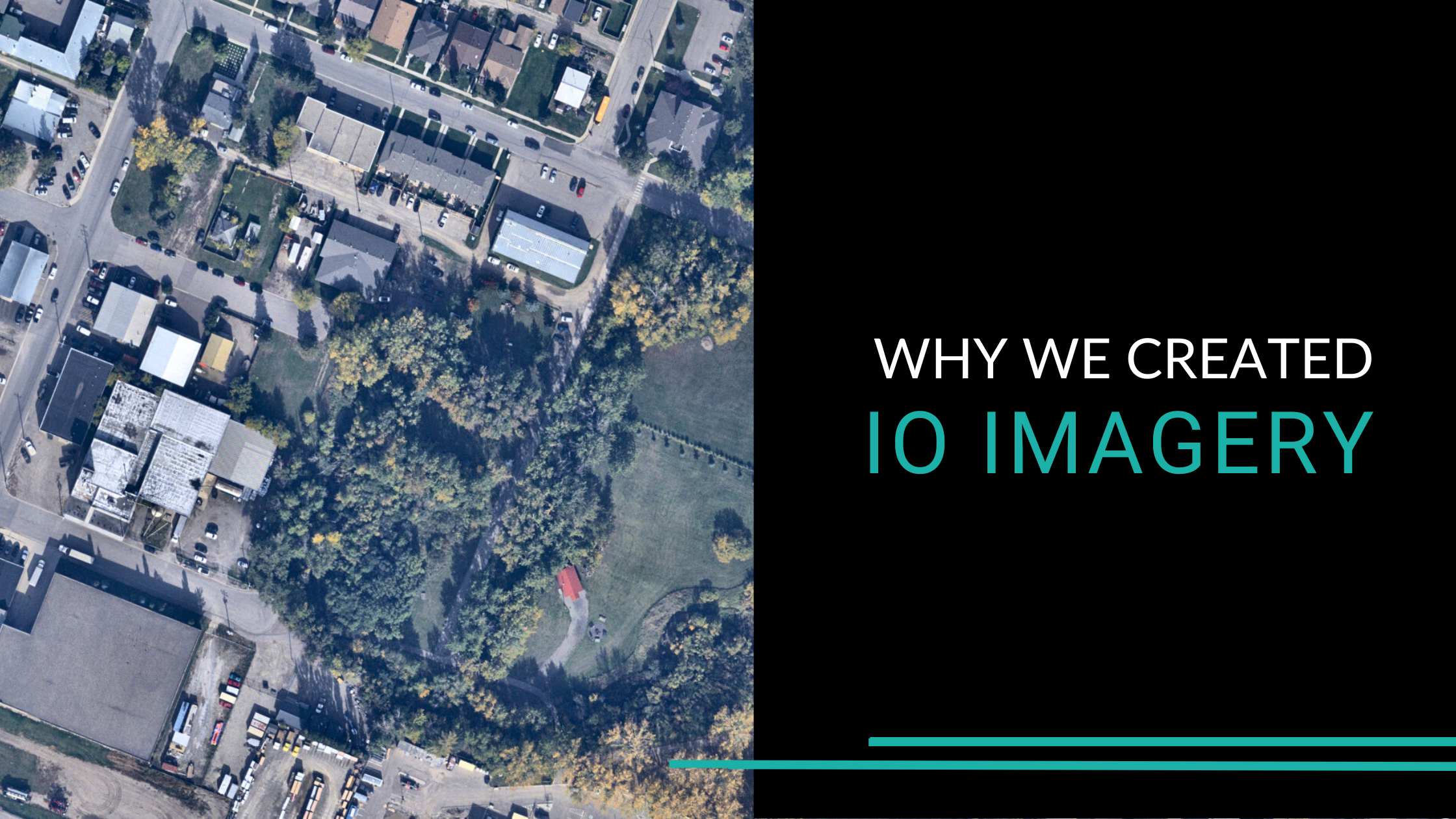
Why We Created IO Imagery
Discover 10 cm high-resolution imagery, fast delivery, and tailored solutions for diverse industries like agriculture, utilities, and emergency response with IO Imagery.
Comparing CO2 Emissions of Traditional Data Acquisition Aircraft with the IO Learjet
Airborne remote sensing missions contribute to CO2 emissions, but choosing the right aircraft can significantly lower your mission’s carbon footprint. While traditional propeller planes are commonly used, jets like the