As technology advances, remote sensing expands, offering invaluable insights into our environment, agriculture, and beyond. However, behind every successful remote sensing mission lies a crucial component often overlooked: tactical flight planning. This article delves into the intricacies of tactical flight planning, its significance in ensuring data quality, and how it streamlines operations for organizations like IO Aerospace.
Critical Areas of Tactical Flight Planning: Tactical flight planning encompasses many tasks, from liaising with air traffic control (ATC) to monitoring weather conditions and strategically mapping flight paths. At its core, it’s about optimizing every aspect of the flight to ensure the best possible data collection.
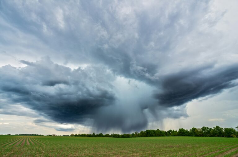
1. Weather Monitoring and Adaptation: Tactical flight planning involves thorough monitoring of weather conditions, including cloud cover, smoke from forest fires, wind speed, and direction. It’s essential to ensure data acquisition occurs under optimal weather conditions to guarantee high-quality remotely sensed data.


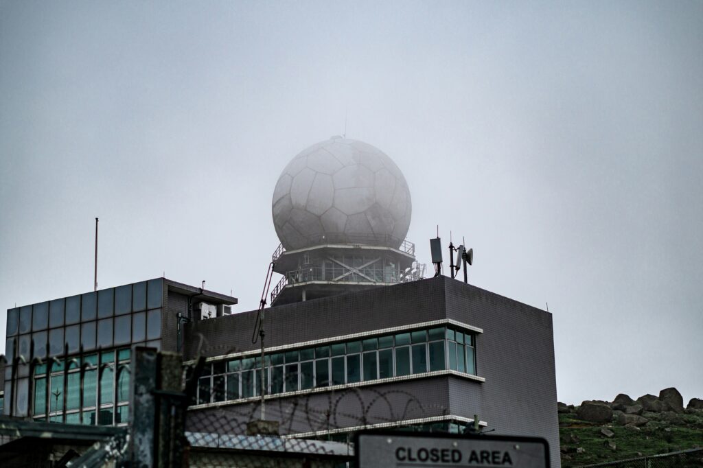
2. Coordination with Air Traffic Control (ATC): Effective communication and coordination with ATC are crucial for remote sensing missions. This ensures airspace safety, compliance with regulations, and optimizing data acquisition by securing permission and establishing designated flight paths.
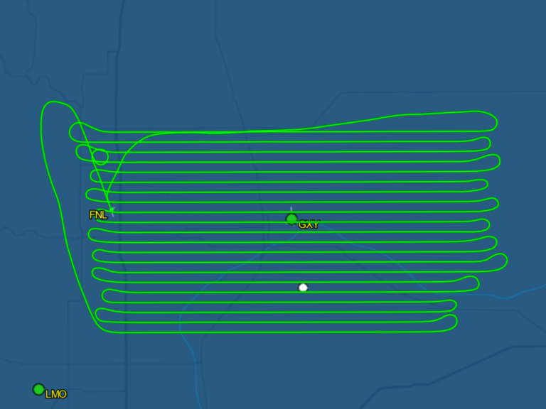
3. Customization and Optimization: Tactical flight planners utilize specialized software and techniques to customize flight plans based on the aircraft, sensor, and operation requirements. Optimization techniques such as managing turn radius and line collection order improve efficiency and minimize maneuvering time during data collection.
4. Data Collection Efficiency: Tactical flight planning aims to maximize data collection efficiency by constantly monitoring weather trends, adapting flight paths to avoid adverse conditions, and utilizing the aircraft’s capabilities, such as long-range capabilities, to access optimal data collection areas. This helps minimize downtime and ensures maximum utilization of favorable weather windows.
Why It’s Important to Plan Ahead: Weather plays a pivotal role in remote sensing missions, particularly for passive sensors like earth observation or imaging spectrometers. Cloud cover, wildfire smoke, and wind can significantly impact data quality. Therefore, meticulous attention to weather trends is essential for successful data acquisition. Additionally, coordination with ATC is paramount. Unlike typical flights, remote sensing missions often traverse specific airspace for extended periods. Proper communication with ATC ensures smooth operations and minimizes disruptions, ultimately enhancing data quality.
In conclusion, tactical flight planning is indispensable for the success of remote-sensing missions. Organizations like IO Aerospace can ensure optimal data quality while leveraging advanced techniques and expertise to minimize operational challenges. IO Aerospace is committed to utilizing tactical flight planners for all missions, providing zero to low clouds, no smoke effects, and optimized data acquisition. Learn more about our services and how we can help streamline your remote sensing operations.